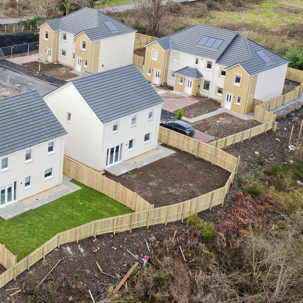
Equal access to job and housing opportunities. Optimal health outcomes. An expanding economic landscape. Active places for all ages and abilities. These are all qualities of vibrant, connected communities—made possible by well-designed, achievable plans.
Harris & Associates’ Community Planning and design services factor in all the diverse elements contributing to a community’s well-being, with careful consideration of resources at every step. Our strategic advisors and planners, drawing on our firm’s vast experience in engineering, housing, planning, and design collaborate with municipal leaders and communities to establish a vision along with the goals, policies, actions, and financing options for making it a reality.
Placemaking for Evolving Communities
As an interdisciplinary team, Harris embraces a holistic model of placemaking that views a community in its entirety, rather than on isolated components, to find solutions that maximize shared values. Centered in a collaborative process, we work together with the community to address their needs, establish a vision, and achieve their aspirations and desires. Our multi-faceted approach integrates planning, design, and management to transform the built environment and strengthen connections between people and the places they share.
Related People


William Halligan, Esq.
Senior Director / Senior Environmental Counsel / Environmental Planning + Compliance


David J. R. Mack, AICP
Senior Project Manager / Senior Planner / Environmental Planning + Compliance


More From Community Planning
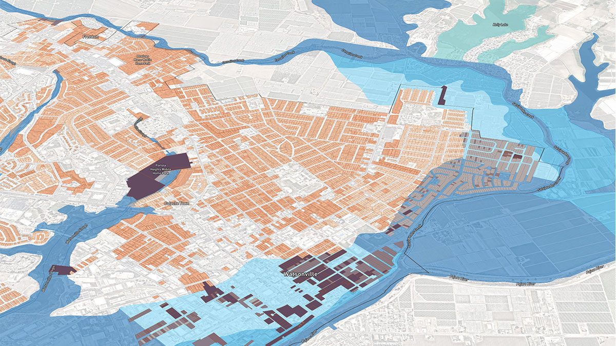
Urban Footprint

Harris is proud to partner with UrbanFootprint—a cloud-based scenario planning tool designed to help planners, decision makers, and community members understand the impacts and trade-offs of land use decisions using scientific research and data about real places where people live and work.
-
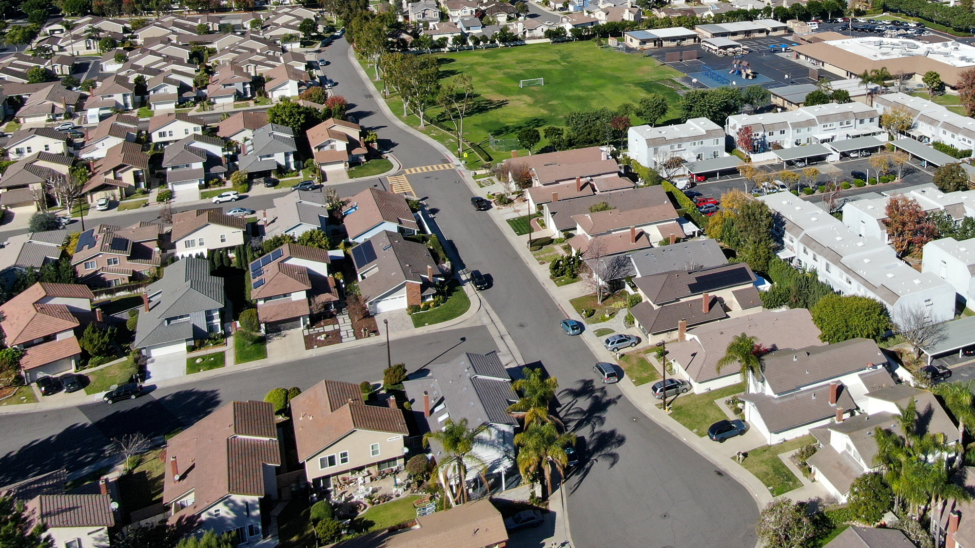
Comprehensive Plans
Comprehensive Plans
Harris helps communities convert lessons learned and vision into comprehensive plans, including general plans, strategic plans, and other long-range planning and policy documents, that anticipate future challenges and align with statewide goals. Using state-of-the-art data and scenario planning tools, our planners analyze the impacts and benefits of numerous land use and mobility planning scenarios to help leaders shape their communities of the future.
-
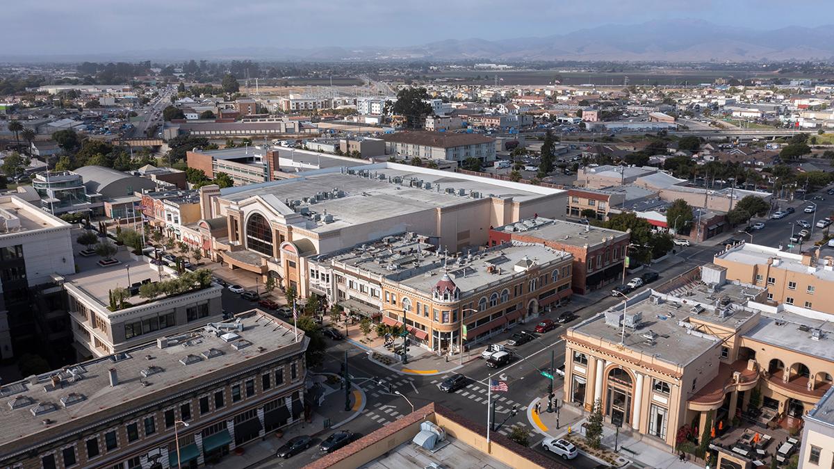
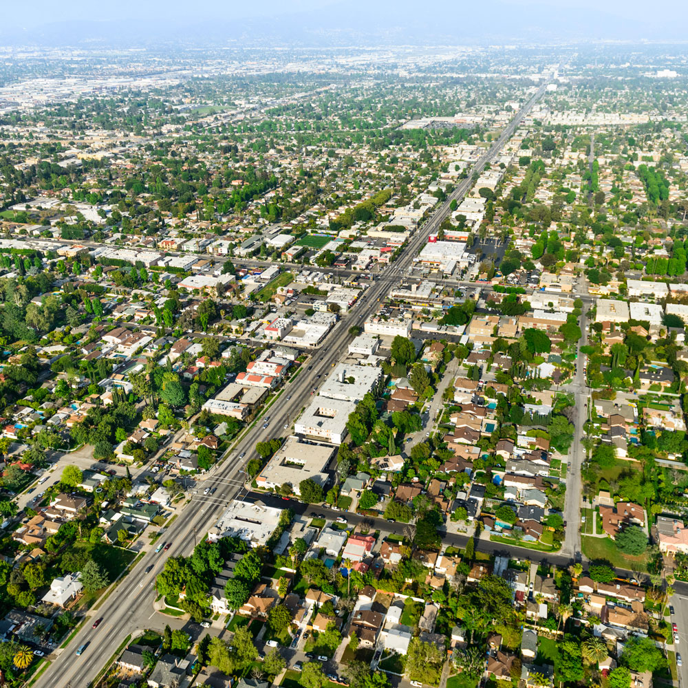
Neighborhood & Corridor Planning

Neighborhood & Corridor Planning
Harris develops detailed plans for specific areas within the city, such as neighborhoods and corridors, and for unique purposes, such historic preservation and as transit-oriented development. We tailor these plans to their unique context and vision through collaborative planning with community members. Our services for these types of plans range from policy-level plans, such as community plans and area plans, to ordinance-level plans, such as specific plans and regulating plans.
-
Zoning & Development Codes
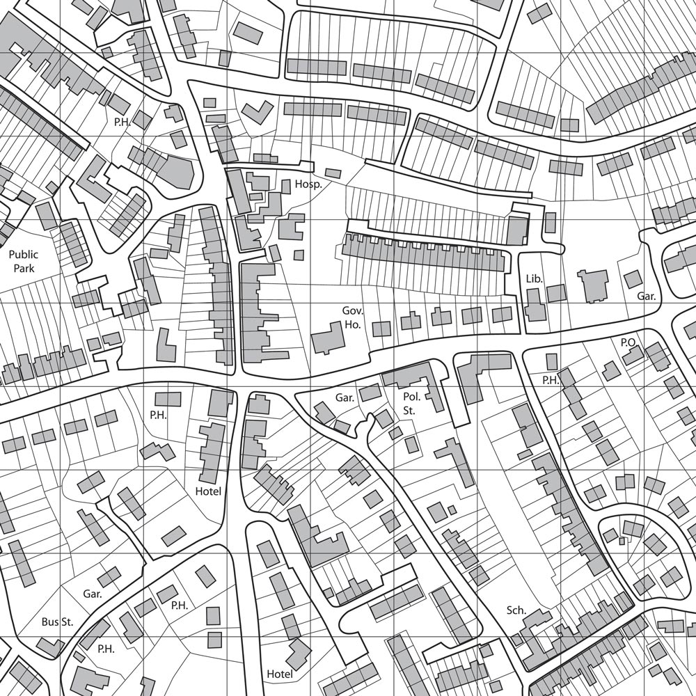
Zoning & Development Codes
Harris prepares updates and amendments to zoning codes to guide the growth of its communities in an organized, flexible, and sustainable way. We prepare standards and guidelines for both use-based and form-based codes, including overlays, objective design and development standards, and place-based codes. We conduct thorough code audits and craft codes in a way that is legible, clear, and user-friendly.
-
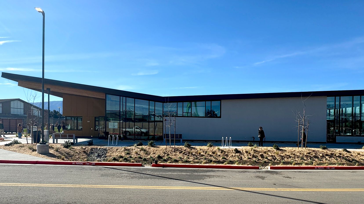
Site Design & Development
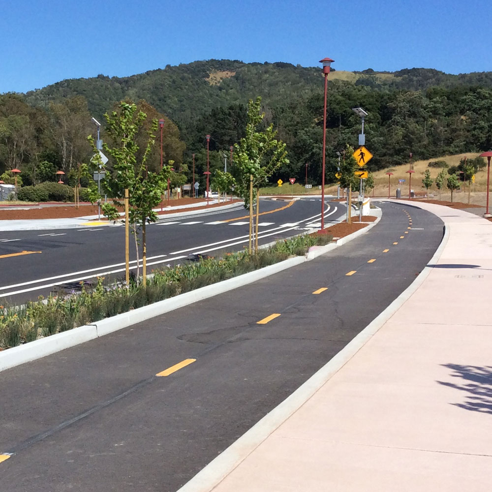
Site Design & Development
Harris’ site plans and designs emphasize function, accessibility, and sustainability at small and large scales. Our implementation tools and strategies focus on the public realm to improve all-mode mobility and placemaking of active centers with built form and patterns that deliver equitable, valuable, and sustainable results. We conduct pro forma analyses and financial reviews of development proposals to analyze feasibility of the development from both the private and public sector perspective.
-
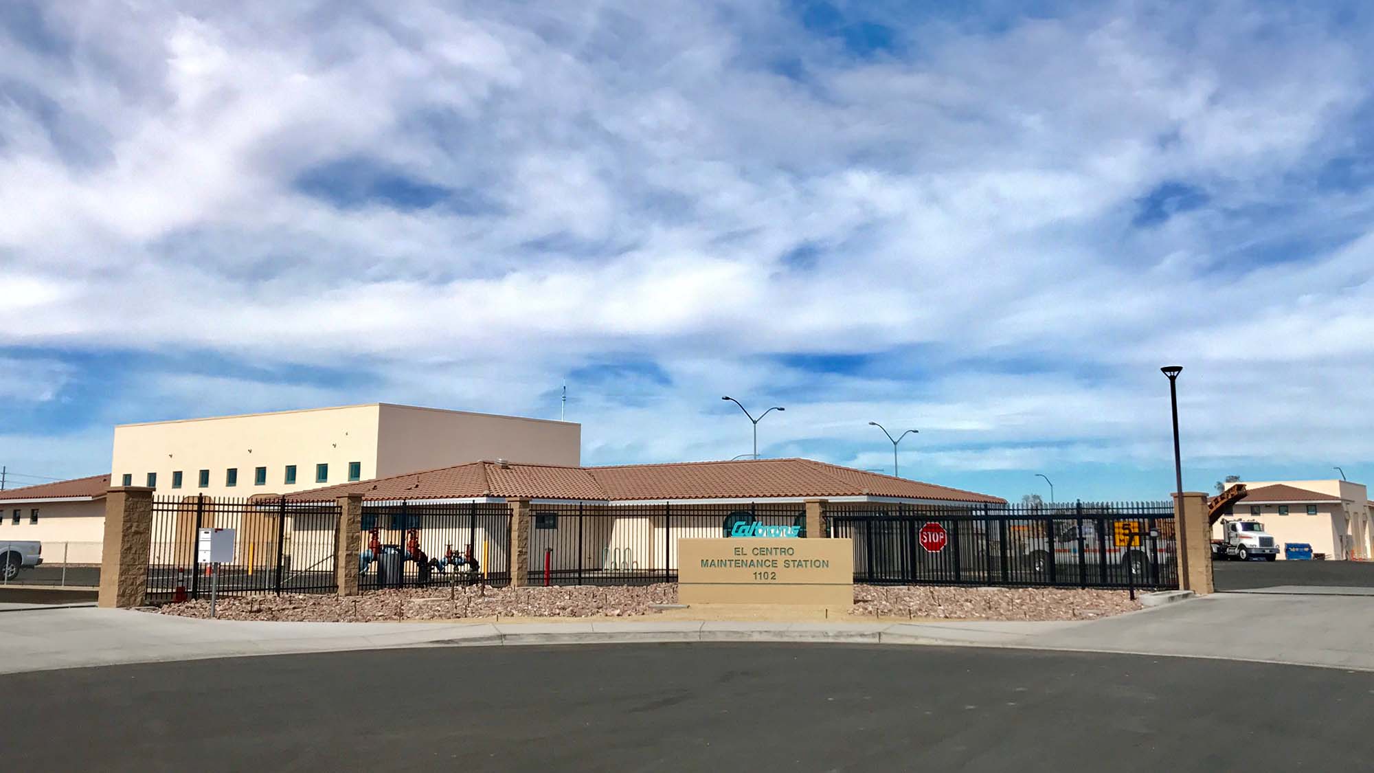
Planning Staff Support

Planning Staff Support
Harris provides support services to planning staff including reviewing development applications for completeness and consistency with applicable regulations, making CEQA review determinations, and preparing comprehensive staff reports. Our staff reports, planning and environments documents are clear, concise, and easily understood by leadership and the general public.
-
Community Engagement
Community Engagement
Harris catalyzes productive public engagement throughout the planning process to account for each community’s unique priorities. We develop robust community engagement plans and utilize unique strategies and tactics for engaging the community to build a support system of advocates instead of adversaries.
-
Plan Visualization and Assessment
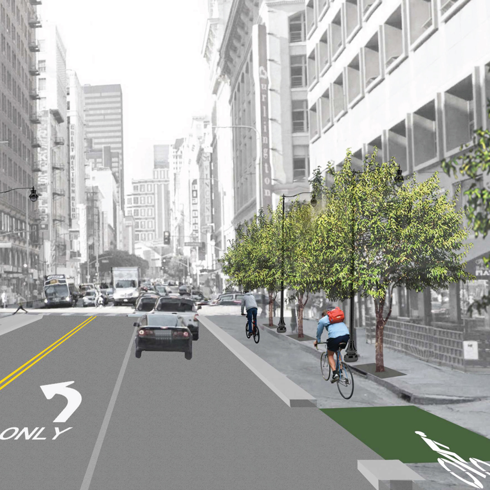
Plan Visualization and Assessment
Harris creates highly illustrative 2D and 3D visualizations of plans to clearly convey a site’s development program, including land use, built form, and public interface. We use an array of graphic design software to create visually appealing plans, perspectives, photo simulations, and short videos. These visualizations are used to not only provide cogent imagery that enables the community to envision the future potential of a site but also to assess the suitability of the proposed development within its surrounding context.
Comprehensive Plans
Harris helps communities convert lessons learned and vision into comprehensive plans, including general plans, strategic plans, and other long-range planning and policy documents, that anticipate future challenges and align with statewide goals. Using state-of-the-art data and scenario planning tools, our planners analyze the impacts and benefits of numerous land use and mobility planning scenarios to help leaders shape their communities of the future.